Exploring Utah's Diverse Landscape
Exploring Utah's Diverse Landscape

Looking east across the desert landscape from Boulder Mountain to the Henry Mountains
I've driven over Boulder Mountain via Utah's Route 12 Scenic Byway several times, not once have I had the opportunity to camp on Boulder Mountain as well as hike to Lower Calf Creek falls—until now! I was finally able to spend three nights base camping on the north slope of Boulder Mountain while taking opportunties to do a few hikes in the south central Utah area.
Boulder Mountain
South of Torrey on Route 12, just past the turn off to Teasedale is the North Slope Road (gravel) that leads up to the Fish Creek Reservoir, Blind Lake, and Green Lake trailheads. We camped just north of the Blind Lake trailhead in a dispersed camping site at about 9800 ft (2987 m).
Our first hike was to Blind Lake, a short one mile hike to a fairly large lake at the base of the cliffs just below the Boulder Plateau. I was able to catch about ten fish ranging from about a six inch rainbow to a 14 inch rainbow. I caught brook, cutthroat, and rainbow. I was really hoping to catch an arctic grayling and splake but had no such luck.
Lower Calf Creek Falls
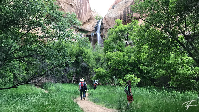
Our second hike was to Lower Calf Creek Falls in Grand Staircase-Escalante National Monument. It's 24 miles due south of our campsite but about 60 miles of driving between the two points.
The hike to the falls is fairly easy, less than three miles each way and very little elevation gain. It can be difficult in hot temperatures. Luckily we hiked it in the early evening with heavy cloud cover. I am always amazed at the beauty of the landscape—from the magnificent sandstone cliffs to the desert flowers. The trail ends at the waterfall and a cool oasis of flora.
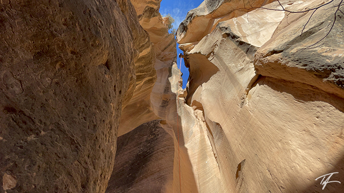
Leprechaun Canyon
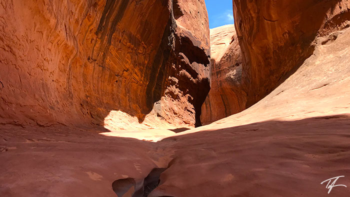
On our second full day, we drove through Capitol Reef National Park to Hanksville, and down State Route 95 towards Hite Crossing. Along that highway, not too far south of the Bullfrog turnoff is Leprechaun Canyon. It was a new discovery of mine and I had hoped we could hike a couple miles of a slot canyon without getting into the technical parts‚ We were not so lucky as it got technical pretty fast.
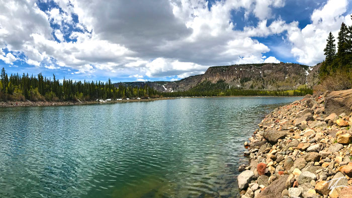
We decided to head down to Hite in hopes of looking down over Lake Powell for lunch before heading back to camp. I was surprised to see that Lake Powell is so low that we couldn't even see it from the overlook we stopped at. The now-unusable Hite Marina is a couple hundred yards away from the Colorado River. When I first spotted the marina, I thought it was a paved landing strip instead of the boat launch.
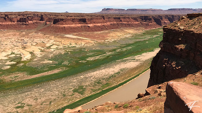
Photo Gallery