Paul Bunyan's Woodpile
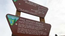
Paul Bunyan's Woodpile
A friend at work told me about Paul Bunyan's Woodpile when I asked him for suggestions of places I could take our scout troop for an overnighter.
Location of Paul Bunyan's Woodpile
Located in Juab County, Utah, it's about 15 miles south of the town of Eureka and about 15 miles nearly due west of Nephi. A relatively new sign marks the highway turn off with others clearly directing you to the trailhead. Coordinates are provided at the bottom of this article for you to copy/paste into your favorite maps website or application.
Weather was volitile this week. It rained most of the night before and up until about three hours before our planned departure. The first 1.75 miles of dirt road were fairly dry and well graded. As conditions turned muddy, we turned around to find a campsite since we were driving a minivan towing a small cargo trailer.
Dispersed Camping
Four of the eight committed boys ended up dropping out (our December and Februrary campouts were both within two degrees of 0º F/-18º C)—unfortunate for them since the weather was cool and dry the whole trip. A little over a mile off pavement is a cluster of juniper trees that we were able to go back to and camp in for the night.
The area near the woodpile was once well forested with junipers before a fire came through
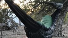
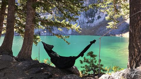
After setting up camp, the boys were happy to demolish a bag of marshmallows before playing night games and staying up late. As an avid hammocker, I was happy to find a couple trees to hang from. Most of the area is treeless and Utah Junipers aren't typically ideal for hanging a hammock since they're more of a tall shrub than a tree. A cool breeze blew most of the night robbing my underquilt of the full warmth it normally provides.
After breakfast and packing up camp, we headed back down the road toward the trailhead. We found a spot to drop the trailer and drove through more periodic muddy, but drying road until the road ends at the trailhead. I wouldn't recommend bringing trailers of any length all the way to the trailhead.
The Trail and Woodpile
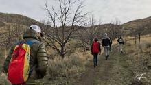
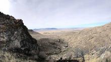
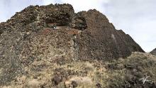
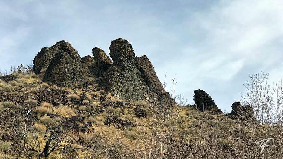
Most of the one mile long trail is a very easy ascent up a small canyon until you reach the base of the hill that the woodpile sits on. It's the last 1/8th mile that makes the trail "moderately difficult." The area near the woodpile was once well forested with junipers before a fire came through (I think between 2004 and 2006) and burned much of the vegetation within two miles of the area. Many of the burned trees still stand and there's a small clump of living trees to the north east of the wood pile.
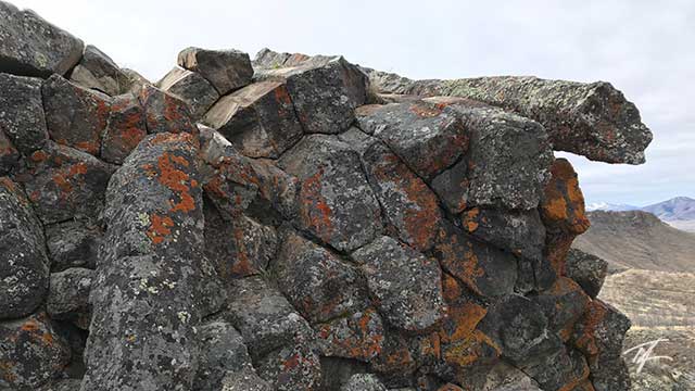
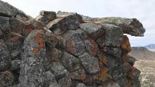
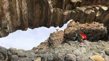
Several fins of rock, or "stacks of wood" make up the woodpile. An arch has formed under part of the largest one. The massive wall of the largest one is impressive in size. Be careful, one stumble and fall of any decent size can end up in a bad situation as it will be rocks that break your fall.
Advice
The weather was cool and windy at times. There's not much for cover in inclement weather. In hot conditions, bring plenty of water and sunscreen. No matter what, it's worth the trip—another unique geological wonder of Utah!
| Description | Coordinates |
|---|---|
| Paul Bunyan's Woodpile | 39.766400, -112.115275 (map) |
| trailhead | 39.760558, -112.123150 (map) |
| our campsite | 39.764997, -112.152489 (map) |
| US 6 turn off | 39.764269, -112.171367 (map) |

