Union Falls
Union Falls
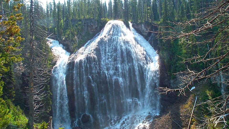
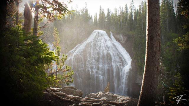
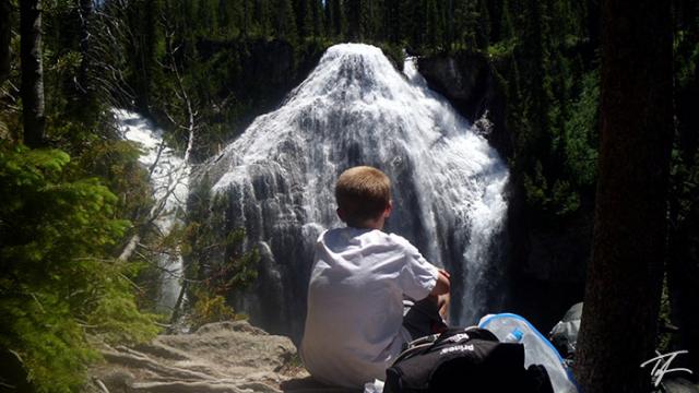
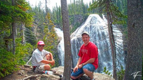
Union Falls is second only to Lower Falls as the tallest waterfall in Yellowstone National Park. Towering at just over 260 ft/79 m, Union Falls is created by Mountain Ash Creek at its top, and an unnamed tributary at its left as they join together. A small island briefly divides Mountain Ash Creek near the top on the right.
Make sure you take the time to visit and swim in Ouzel Pool. It's well worth the extra time and effort and only adds about 1.5 miles (2.4 km) to your hike.
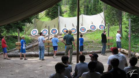
I hiked to Union Falls more than a dozen times when I was on staff at Camp Loll and five times since. My record from trailhead to Union Falls and back to the trailhead (15 mi/24 km) was four hours with a friend the summer after graduating high school. Oh, to be 18 again... At a much more reasonable pace, I plan on taking my own family in late-Summer 2020.
Note
- The two closest backpacking campsites to Union Falls are 9U4 and 9U5.
- Backcountry campsites are only available with a reservation and backcountry permit.
- No permit is required for day hikes to Union Falls.
- Cell service is non-existent. Be careful!
- Take it SLOW on the Ashton-Flagg Ranch road. I had two flat tires in one trip on that road!
- River ford numbers mentioned below are totals for round trip hikes.
How to Get There
Most of the trailheads that access Union Falls are on the Ashton-Flagg Ranch (Grassy Lake) Road. Nearly every year, this dirt road only becomes passable after the Camp Loll staff clears away the final snow drifts as they push their way into camp at the beginning of each summer. The road is definitely rough in spots and impassable until mid- to late-June. A small car can drive this road in dry conditions if taking it slow.
Grassy Lake Trailhead
This is the eastern-most route and starts from Grassy Lake Dam to Union Falls and is probably the easiest to find. It joins the Cascade Creek trail just before fording the Falls River. A backcountry campsite (9F2) is available near this ford. I'm not sure of the distance as I've never done it but is probably just a little longer than the Cascade Creek route.
- Two river fords (Falls River twice)
Cascade Creek Trailhead
The Cascade Creek trailhead (9K5) is a little more than one mile (1.6 km) west of Grassy Lake Dam and 17 miles (27 km) west of Flagg Ranch. A pretty good description of this trail is found in my June 2005 article below. This is probably the shortest of all—but not by much.
From the Cascade Creek trailhead, it is about 15 miles (24 km) round trip hike and is moderate to difficult due to its length, a couple of climbs, and two river fords that have to be done twice—hiking in and hiking out.
If you have time and energy, you can also see Terraced Falls (130 ft/40 m) if you head west on the trail on the south side of the Cascade Creek ford. It will add just under 3 miles to your hike.
- Four river fords (Cascade Creek twice, Falls River twice)
Fish Lake Trailhead
The Fish Lake trailhead (9K3) is just over six miles west of Grassy Lake on the Ashton-Flagg Ranch road. The trailhead access road requires high clearance vehicles. This route is about 17 miles (27 km) round trip to Union Falls. It has less elevation gain than the Cascade Creek trailhead route, but is still moderately difficult due to the farther distance. Backcountry campsite 9F1 is near the Falls River ford, while 9U1 is just past the first Mountain Ash Creek ford. 9U2 and 9U3 are on each side of the second Mountain Ash creek ford.
We used this trailhead in our 50-mile hike of the Cascade Corner (see article below). I also used this trailhead when guiding my brother-in-law and three of his kids.
- Six river fords (Falls River twice, Mountain Ash Creek four times)
Other Trailheads
Union Falls is also accessible from the Mountain Ash Creek trail via the South Boundary and Bechler River trails, Anyone coming from these routes will most likely be overnight backpackers. These are the western-most and longest routes.
The South Boundary route starts at Cave Falls and joins the Fish Lake route on the south side of the Falls River.
- Eight river fords (Falls river four times, Mountain Ash Creek four times)
The Bechler River route comes along the Mountain Ash Creek trail from the Bechler River's "Rocky Ford" trail or East Bechler Meadows trail and joins the Fish Lake route on the north side of Mountain Ash Creek.
- River fords vary based on your route but once it reaches the point where it joins the Fish Lake route there's only two fords (Mountain Ash Creek twice)

