Uinta Mountains
Uinta Mountains
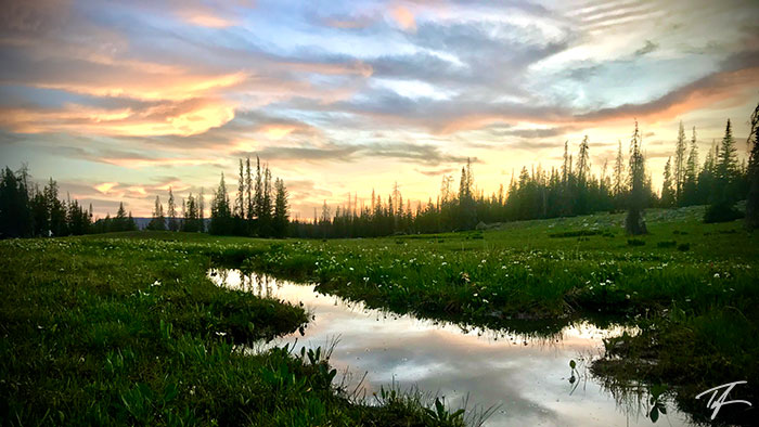
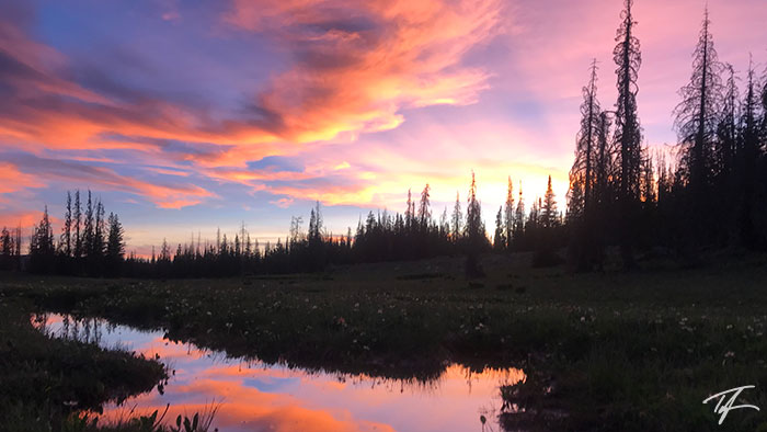
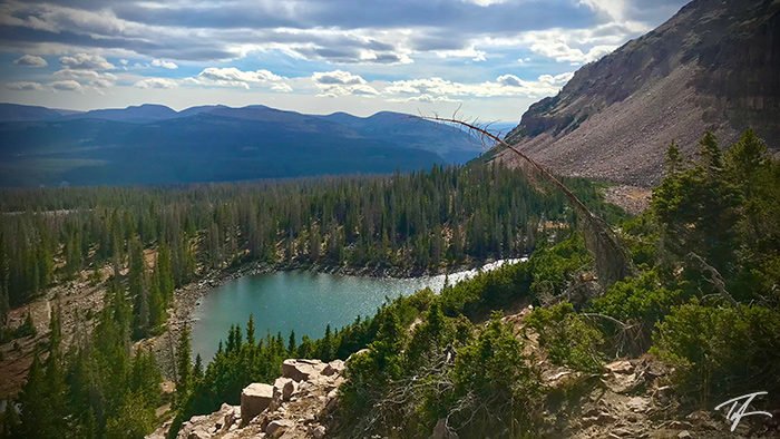
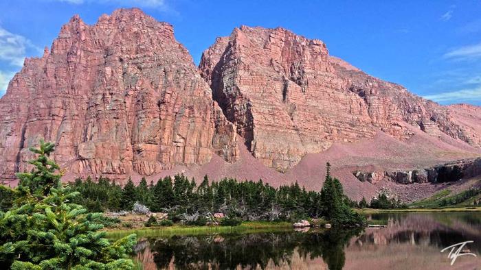
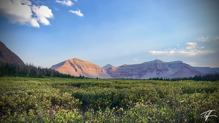
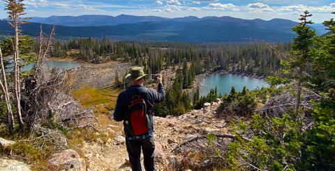
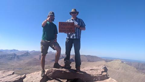
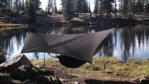
The Uintas are the largest mountain range in the United States that are oriented from east to west. Much of the Uintas are a protected wilderness area referred to as the High Uinta Wilderness. It is a major watershed for much of Utah's population as the Provo River, Weber River, and Bear River all start in the Uintas. Utah's highest elevation is Kings Peak at 13,527 ft/4,123 m.
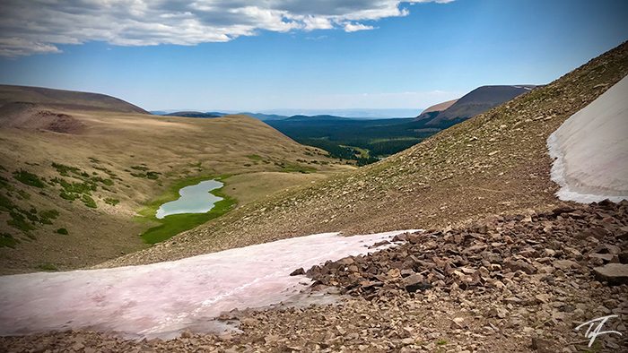
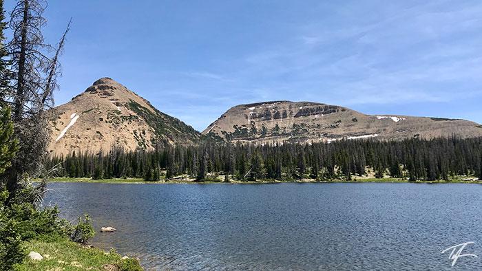
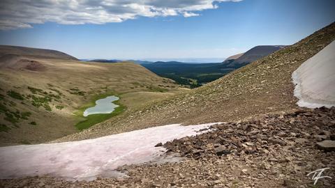
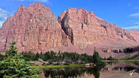
The Uintas are popular for fishing, hiking, backpacking, camping, horseback riding, hunting, and more. The wilderness area is designated roadless. There are over 1,000 lakes with about half supporting game fish.
The season is short due to the fact that the range receives 40 inches of precipitation with most of that as snow. Afternoon thunderstorms are quite common and I've seen six inches of snowfall on July 22 at Mirror Lake (10,050 ft/3,060 m). Above 10,000 ft/3,048 m, expect summer temperatures to drop into the 30s/0–4º C and reach a maximum of about 80º/27ºC. When the Uintas receive heavy snowfall in the winter and a cool spring, it's common for campgrounds along Mirror Lake Highway to not open until late-June, early-July. But when fall remains warm, you can enjoy the Uintas into late-September, early-October.

