Cirque of the Towers
Cirque of the Towers
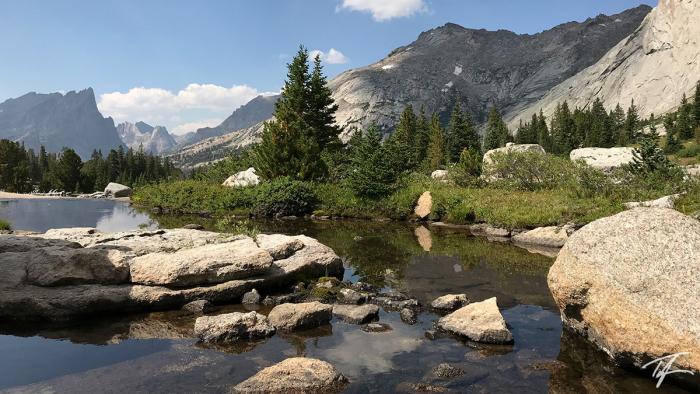
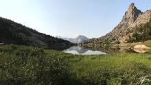
Our three-day backpacking trip this year was not to Utah's High Uintas again, but a first trip to Wyoming's Wind Rivers range with the ultimate destination to visit the Cirque of the Towers, a circle of mountain peaks that are part of the Continental Divide towering 2,000 feet above the circular valley below.
Big Sandy Trailhead
Dave selected the Cirque of the Towers as our ultimate destination. The Big Sandy Trailhead is the closest access to the Cirque and so we headed there. You drive through a whole lot of Wyoming nothingness to get to Big Sandy. The last town we drove through was Farson, Wyoming. From there, it was 35ish miles of well maintained gravel and dirt roads. Wednesday afternoon, the trailhead parking lot packed full of vehicles—about half from Utah, 25% from Wyoming, and 25% from a whole lot of other states.
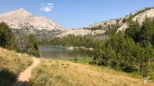
From the Big Sandy trailhead, the trail is a fairly easy 4.9 miles north east to Big Sandy Lake with a lot of tree cover along the way. The trail intersects with the Continental Divide Trail (CDT) and is quite popular with rock climbers as we saw many carrying their gear heading to the Cirque. I was following "Dixie's" progress as she hiked the CDT and posted videos on her Homemade Wanderlust YouTube channel. I knew she was close and planned on visiting the Cirque on her way through. I hoped that we would cross paths this weekend so I could say "hi," even carrying a small bag of her favorite brand of salt and vinegar chips to give as a small piece of "trail magic."
Big Sandy Lake
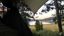
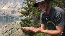
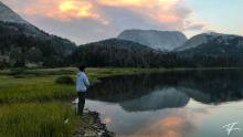
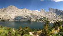
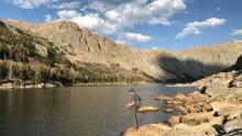
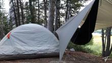
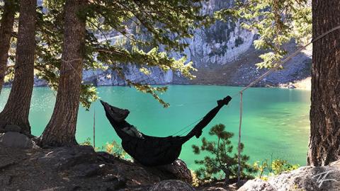
Dave and I camped on the north end of Big Sandy Lake on a small rise filled with trees just east of North Creek. The clearing at the top of the small hill was barely big enough to fit his one man tent and my hammock. Check out the picture below to see how close we were. Dave found his way down to the lake to fish as often as he could and found moderate success with decent sized brook trout.
The Cirque of the Towers
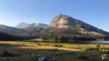
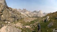
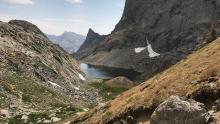
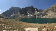
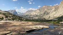
Our first full day, we decided to head up to the Cirque of the Towers. It's a fairly steep climb of about 1,000 feet/305 meters from Big Sandy Lake to Jackass Pass (the Continental Divide) and into the Cirque. The Cirque is amazing! It consists of several solid and sheer granite peaks including Mitchell Peak, War Bonnet Peak, Warrior Peaks, Pylon Peak, Block Tower, Sharks Nose, Overhanging Tower, Wolfs Head, and Lizard Peak—all over 12,000 feet/3,657 meters! One of the most unique and interesting peaks is Pingora Peak—a freestanding needle-like peak inside the circle of taller peaks. Lonesome Lake is about 2/3 the size of Big Sandy Lake and sits at 10,166 feet/3,098 meters in the center of the Cirque. The peaks reach 2,000 feet/610 meters in a circle above the lake.
Temple, Deep, Clear Lakes Loop
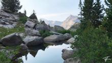
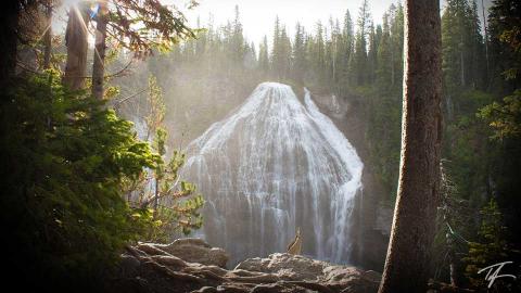
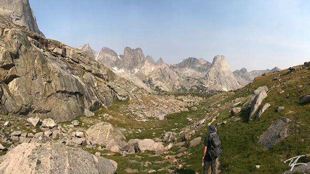
On our second, and last full day, we did a loop up Rapid Creek past Rapid Lake, Miller Lake, Temple Lake, over a small pass into Deep Lake and Clear Lake before taking a shortcut to Black Joe Lake where we had heard there were big fish that would start biting in the late afternoon.
Rainy Night
We had a good down pour of rain our final night and we had to get up early to head out in order to get back to some commitments on Saturday evening. As we left mist was rising off Big Sandy Lake and the sun was just trying to peak over the south side of Big Sandy Mountain. After we crossed the CDT on our way out, I decided to eat my bag of salt and vinegar chips since our paths didn't cross with Dixie. Of course, we always end our trips at a greasy spoon in a town on our way out and this time we didn't stop until Evanston. The burger at Sud's Brothers didn't disappoint.
It was a fantastic trip and I hope to return to the Wind Rivers soon.

